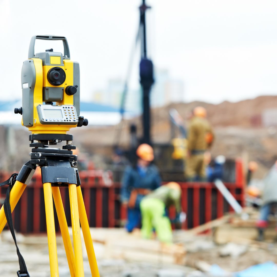
Land surveying is a critical process in construction and real estate that involves measuring and mapping land to establish precise boundaries, elevations, and features. This process provides essential data for planning, designing, and executing construction projects, as well as for resolving property disputes and ensuring legal compliance. Surveying typically includes field measurements using specialized equipment, data analysis, and creating detailed maps and reports. It is crucial for both new developments and modifications to existing properties.
Attachments: Approved plans - Building permit - Owner's identity - Other attachments.

Land surveying involves measuring and mapping land to determine boundaries, features, and elevations for construction, development, and legal purposes.